Jala, Hebron
Jump to navigation
Jump to search
Jala, Hebron
Arabic: جالا | |
|---|---|
| Jala, Hebron | |
| Country | File:Flag of Palestine.svg Palestine |
| Governorate | Hebron Governorate |
| Elevation | 793 m (2,602 ft) |
| Population (2007) | |
• Total | 249 |
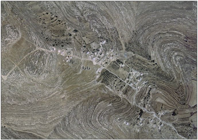
Jala is a Palestinian village village located in the southern West Bank, approximately 12 kilometers south of the city of Hebron, within the Hebron Governorate.[1] [2]
Geography
[edit | edit source]Jala is situated at an elevation of approximately 793 meters above sea level. It is affiliated with the Beit Ummar Municipal Council and is located about 2 kilometers south of the town. The village contains several archaeological and historical sites, and grape cultivation is common in the area.[3]
Population
[edit | edit source]According to the Palestinian Central Bureau of Statistics, the population of Jala was 249 in 2007.[4]
See also
[edit | edit source]References
[edit | edit source]- ^ Lua error in Module:Citation/CS1/Configuration at line 2172: attempt to index field '?' (a nil value).
- ^ Lua error in Module:Citation/CS1/Configuration at line 2172: attempt to index field '?' (a nil value).
- ^ Lua error in Module:Citation/CS1/Configuration at line 2172: attempt to index field '?' (a nil value).
- ^ Lua error in Module:Citation/CS1/Configuration at line 2172: attempt to index field '?' (a nil value).