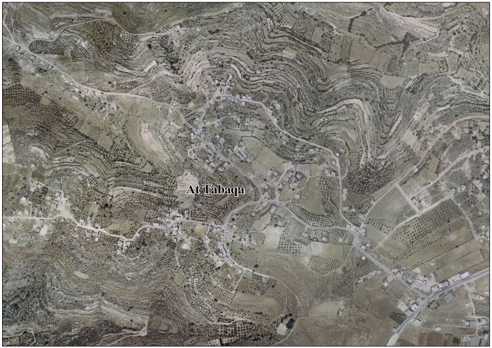
At-Tabaqa
Jump to navigation
Jump to search
at-Tabaqa | |
|---|---|
| Arabic transcription(s) | |
| • Arabic | خربة الطبقه |
| Lua error in Module:Location_map at line 411: Malformed coordinates value. | |
| Coordinates: Lua error in Module:Coordinates at line 489: attempt to index field 'wikibase' (a nil value). | |
| State | State of Palestine |
| Governorate | Hebron |
| Government | |
| • Type | Village council |
| Population (2006) | |
• Total | 1,435 |
at-Tabaqa (Arabic: خربة الطبقه) is a Palestinian village located seven kilometers west of Hebron. The town is in the Hebron Governorate Southern West Bank. According to the Palestinian Central Bureau of Statistics, the village had a population of 1,435 in mid-year 2006.[1]
History
In 1961, under Jordanian rule, Tabaqa had 200 inhabitants.[2]
Footnotes
- ^ Projected Mid -Year Population for Hebron Governorate by Locality 2004- 2006 Archived 2008-09-20 at the Wayback Machine Palestinian Central Bureau of Statistics
- ^ Lua error in Module:Citation/CS1/Configuration at line 2172: attempt to index field '?' (a nil value).
External links
- Welcome To Kh. al-Tabaqa
- At Tabaqa & Wadih Village (fact sheet), Applied Research Institute–Jerusalem, ARIJ
- At Tabaqa & Wadih village profile, ARIJ
- At Tabaqa aerial photo, ARIJ
- The priorities and needs for development in At Tabaqa & Wadih village based on the community and local authorities' assessment, ARIJ

Lua error in Module:Authority_control at line 153: attempt to index field 'wikibase' (a nil value).
This geography of Palestine article is a stub. You can help Wikipedia by expanding it. |