Beit Hasan
Jump to navigation
Jump to search
Beit Hasan | |
|---|---|
| Arabic transcription(s) | |
| • Arabic | بيت حسان |
| • Latin | Bayt Hasan (unofficial) |
| Lua error in Module:Location_map at line 411: Malformed coordinates value. | |
| Coordinates: Lua error in Module:Coordinates at line 489: attempt to index field 'wikibase' (a nil value). | |
| Palestine grid | 188/182 |
| State | State of Palestine |
| Governorate | Nablus |
| Government | |
| • Type | Municipality |
| Population (2017)[1] | |
• Total | 1,599 |
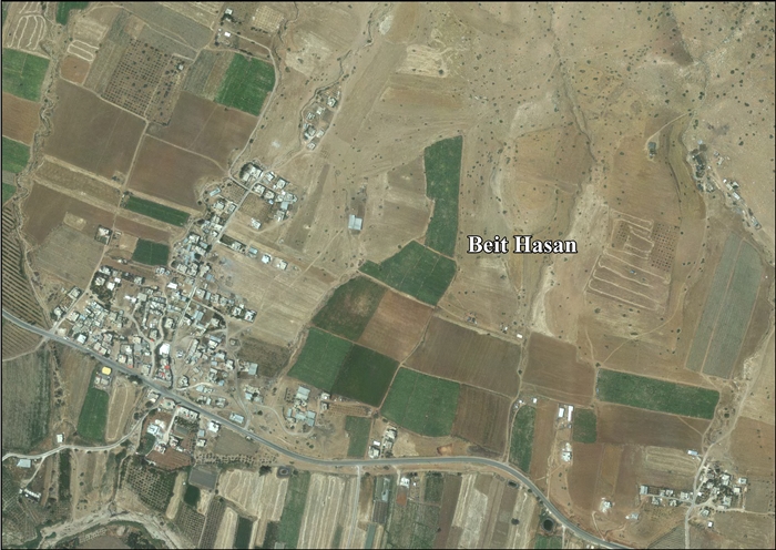
Beit Hasan (Arabic: بيت حسان) is a Palestinian village in the Nablus Governorate in the North central West Bank, located 14 kilometers east of Nablus. According to the Palestinian Central Bureau of Statistics (PCBS), the village had a population of 1,599 inhabitants in 2017.[1]
References
External links
- Welcome To Bayt Hasan
- Survey of Western Palestine, Map 12: IAA, Wikimedia commons
- Beit Hasan Village profile, Applied Research Institute–Jerusalem (ARIJ)
- Beit Hasan, aerial photo, ARIJ
- Development Priorities and Needs in Beit Hasan, ARIJ
Lua error in Module:Authority_control at line 153: attempt to index field 'wikibase' (a nil value).