Manalipa
Jump to navigation
Jump to search
Manalipa | |
|---|---|
Island Barangay | |
| Lua error in Module:Location_map at line 411: Malformed coordinates value. | |
| Coordinates: Lua error in Module:Coordinates at line 489: attempt to index field 'wikibase' (a nil value). | |
| Country | Philippines |
| Region | Zamboanga Peninsula |
| City | Zamboanga City |
| Barangay | Manalipa |
| Population (August 1, 2007)[1] | |
• Total | 1,674 |
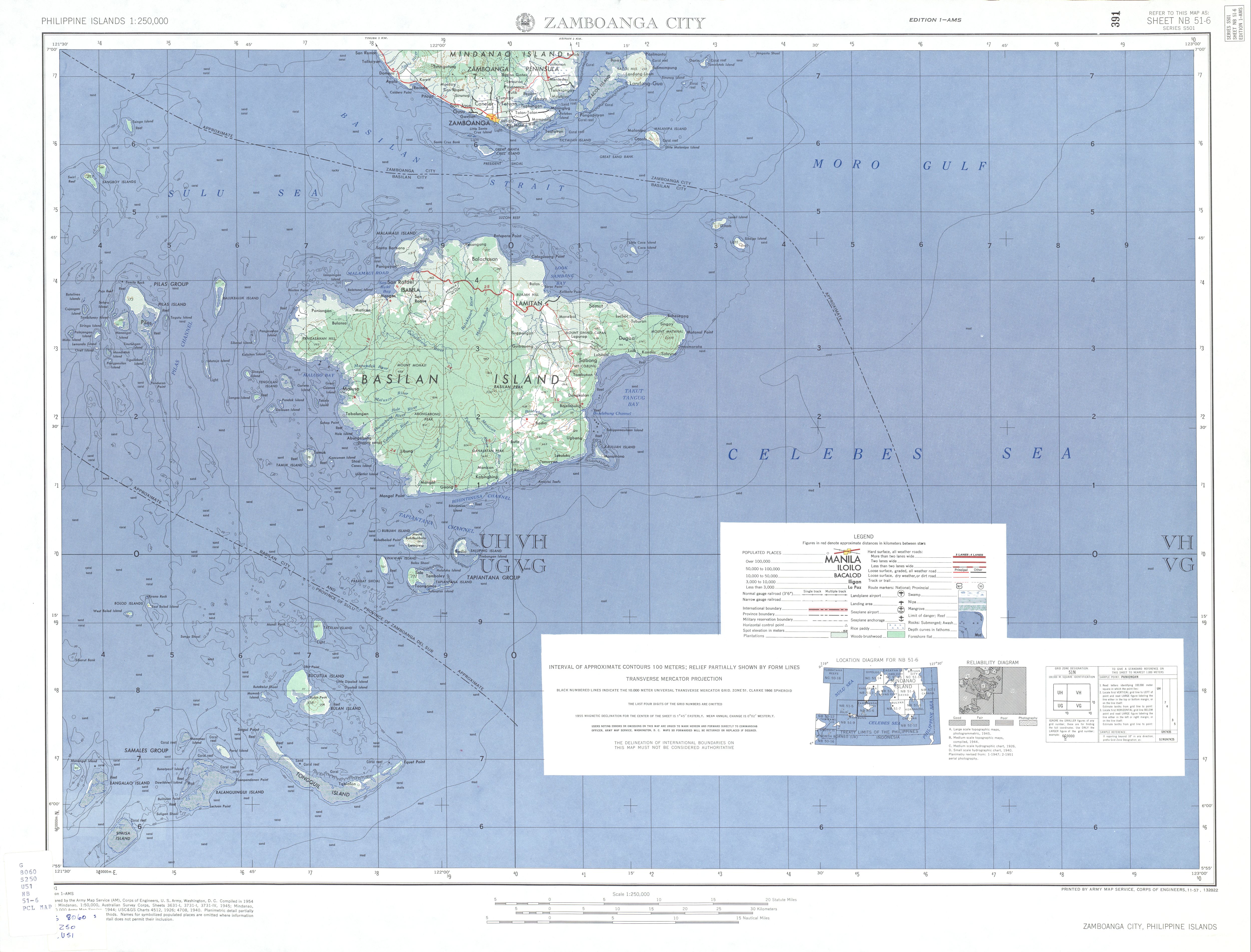
Manalipa (also known as Malanipa[2][3]) is one of the 28[4] offshore islands of the City of Zamboanga in southern Philippines. Located about 0.5 kilometres (0.31 mi) east of the southern tip of the island is Little Manalipa Island (also known as Little Malanipa Island).
Location
[edit | edit source]The island is located about 25 kilometres (16 mi) east of downtown Zamboanga City, and 8 kilometres (5.0 mi) southeast of Sacol Island, on the Moro Gulf.[2]
Communities
[edit | edit source]The barangay of Manalipa, the lone community on the island, has population of 1,674 (as of August 1, 2007).[1]
Features
[edit | edit source]Scuba diving is very good around the island.[2]
See also
[edit | edit source]References
[edit | edit source]- ^ a b "Zamboanga City" Archived 2011-11-14 at the Wayback Machine. PSGC Interactive. Retrieved on 2011-08-28.
- ^ a b c "Islands of Zamboanga City". Zamboanga.com. Retrieved on 2011-08-25.
- ^ "Zamboanga City Map". University of Texas in Austin Library. Retrieved on 2011-08-28.
- ^ "Zamboanga City Profile" Archived 2010-11-14 at the Wayback Machine. National Statistical Coordination Board. Retrieved on 2011-08-28.
Ciudad de Zamboanga | ||
| Geography |  | |
| Government | ||
| History | ||
| Places | ||
| Education | ||
| Media | ||
| Culture | ||
| Transportation | ||