Uspanapa River
Jump to navigation
Jump to search
| Uspanapa Uxpanapa, Uzpanapa | |
|---|---|
| File:Istmo de Tehuantepec hidro.png | |
| Location | |
| Country | Mexico |
| State | Oaxaca, Veracruz |
| Region | Isthmus of Tehuantepec |
| Physical characteristics | |
| Source | |
| • coordinates | Lua error: callParserFunction: function "#coordinates" was not found. |
| Mouth | Coatzacoalcos River |
• coordinates | Lua error in Module:Coordinates at line 489: attempt to index field 'wikibase' (a nil value). |

The Uspanapa River, also known as the Uxpanapa or Uzpanapa, is a river of Mexico.[1] It originates in the foothills of Sierra Atravesada subrange of the Sierra Madre de Chiapas mountains in the state of Oaxaca. It flows through the Selva Zoque and the municipio of Uxpanapa in the state of Veracruz from which it takes its name. It is a tributary of the Coatzacoalcos River, which it joins downstream from the city of Minatitlán and upstream from Nanchital.
See also
[edit | edit source]References
[edit | edit source]- ^ Lua error in Module:Citation/CS1/Configuration at line 2172: attempt to index field '?' (a nil value).
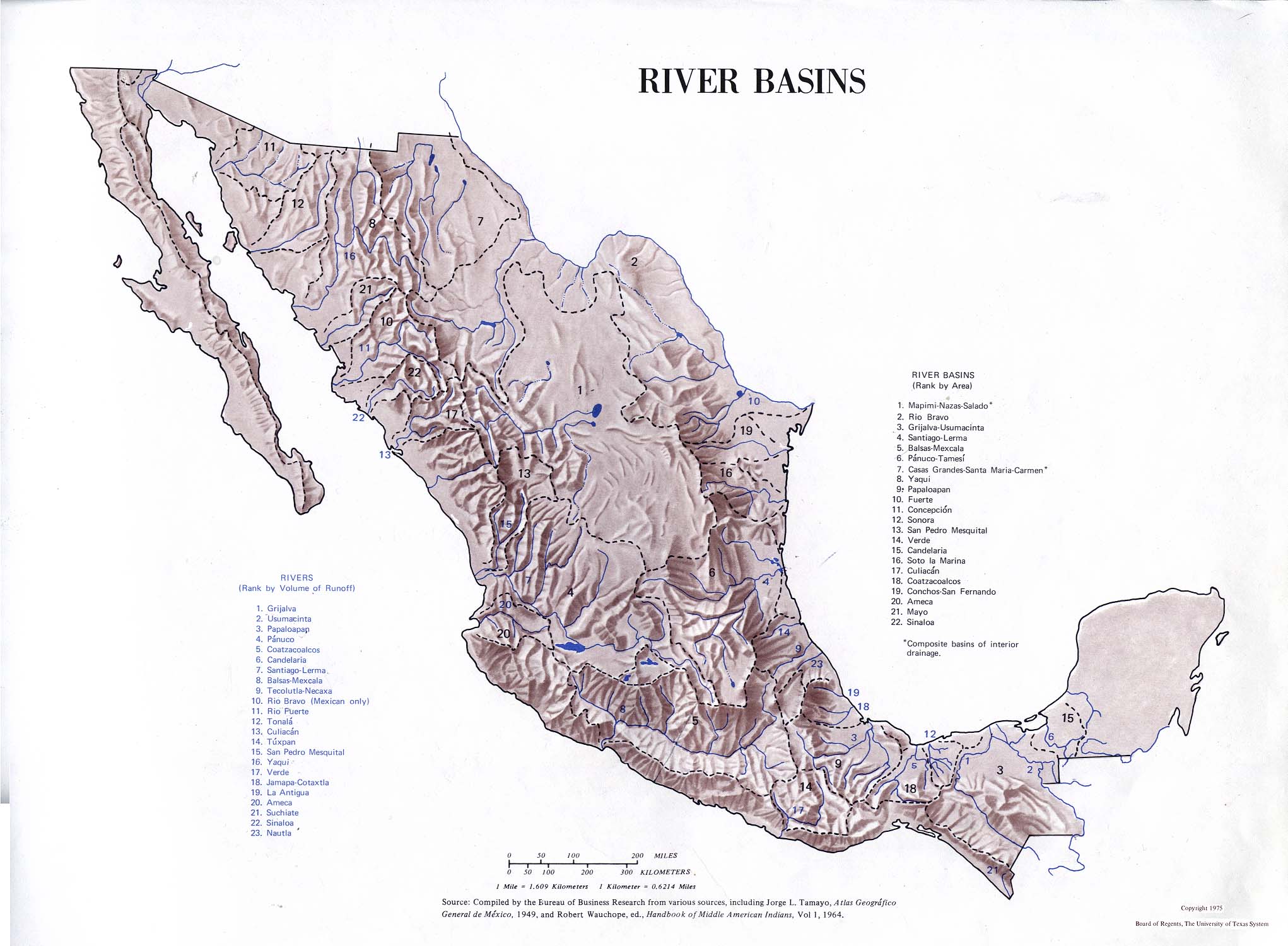
- Atlas of Mexico, 1975 (http://www.lib.utexas.edu/maps/atlas_mexico/river_basins.jpg).[permanent dead link]
- The Prentice Hall American World Atlas, 1984.
- Rand McNally, The New International Atlas, 1993.
Lua error in Module:Authority_control at line 153: attempt to index field 'wikibase' (a nil value).
