Shayta
Jump to navigation
Jump to search
Shayta
سحيتا | |
|---|---|
Village | |
| Lua error in Module:Location_map at line 411: Malformed coordinates value. | |
| Coordinates: Lua error in Module:Coordinates at line 489: attempt to index field 'wikibase' (a nil value). | |
| Grid position | 221/295 PAL |
| Country | |
| Governorate | Quneitra |
| District | Quneitra District |
| Subdistrict | Mas'ade |
| Region | Golan Heights |
| Destroyed | 1971-72 |
| Elevation | 1,189 m (3,901 ft) |
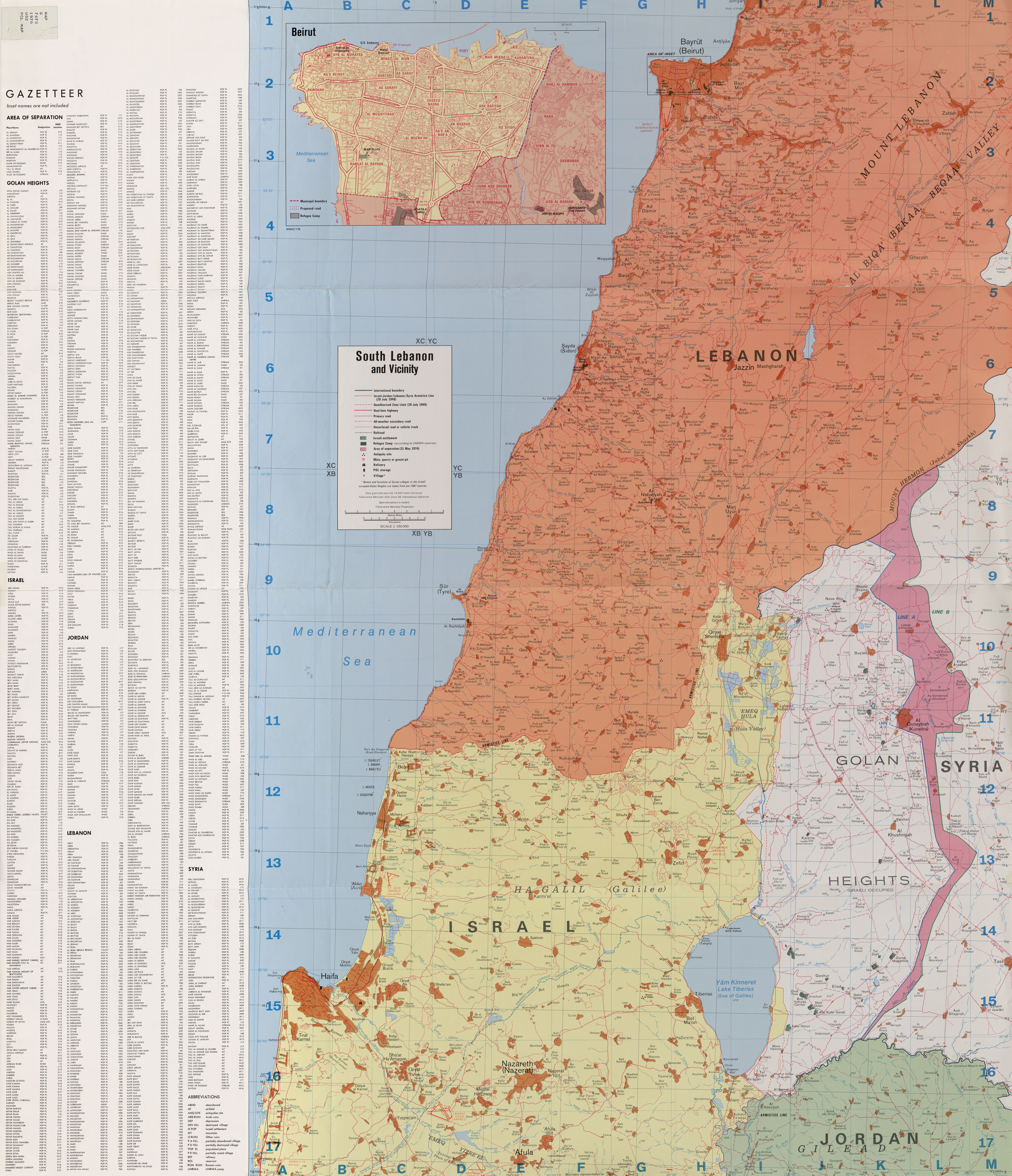
S-hayta, also spelled Suhayta, S'heita or Su'heita, (Arabic: سحيتا) was a Syrian Druze village located in the Golan Heights.[1] It was one of only six Syrian villages in the Golan Heights still populated following the Six-Day War.[2] After Israel occupied the area in 1967, S-hayta's population census was 176 people, down from 200 in 1960.[3] In 1967, S-hayta was partially destroyed and a military post built in its place.[2] Israel completely destroyed the village in 1971-72 and its population was forcibly transferred to the neighboring village of Mas'ade.[2][4] Today, its former inhabitants are still campaigning for the return to their village.[2] S-hayta was located near the ceasefire line between Syrian and Israeli forces.[1][4]
See also
[edit | edit source]References
[edit | edit source]- ^ a b South Lebanon and Vicinity 1976
- ^ a b c d Lua error in Module:Citation/CS1/Configuration at line 2172: attempt to index field '?' (a nil value).
- ^ Lua error in Module:Citation/CS1/Configuration at line 2172: attempt to index field '?' (a nil value).
- ^ a b Lua error in Module:Citation/CS1/Configuration at line 2172: attempt to index field '?' (a nil value).