Samarkandek
Jump to navigation
Jump to search
Samarkandek
Kyrgyz: Самаркандек | |
|---|---|
| Lua error in Module:Location_map at line 411: Malformed coordinates value. | |
| Coordinates: Lua error in Module:Coordinates at line 489: attempt to index field 'wikibase' (a nil value). | |
| Country | Kyrgyzstan |
| Region | Batken Region |
| District | Batken District |
| Population (2021) | |
• Total | 8,015 |
| Time zone | UTC+6 |
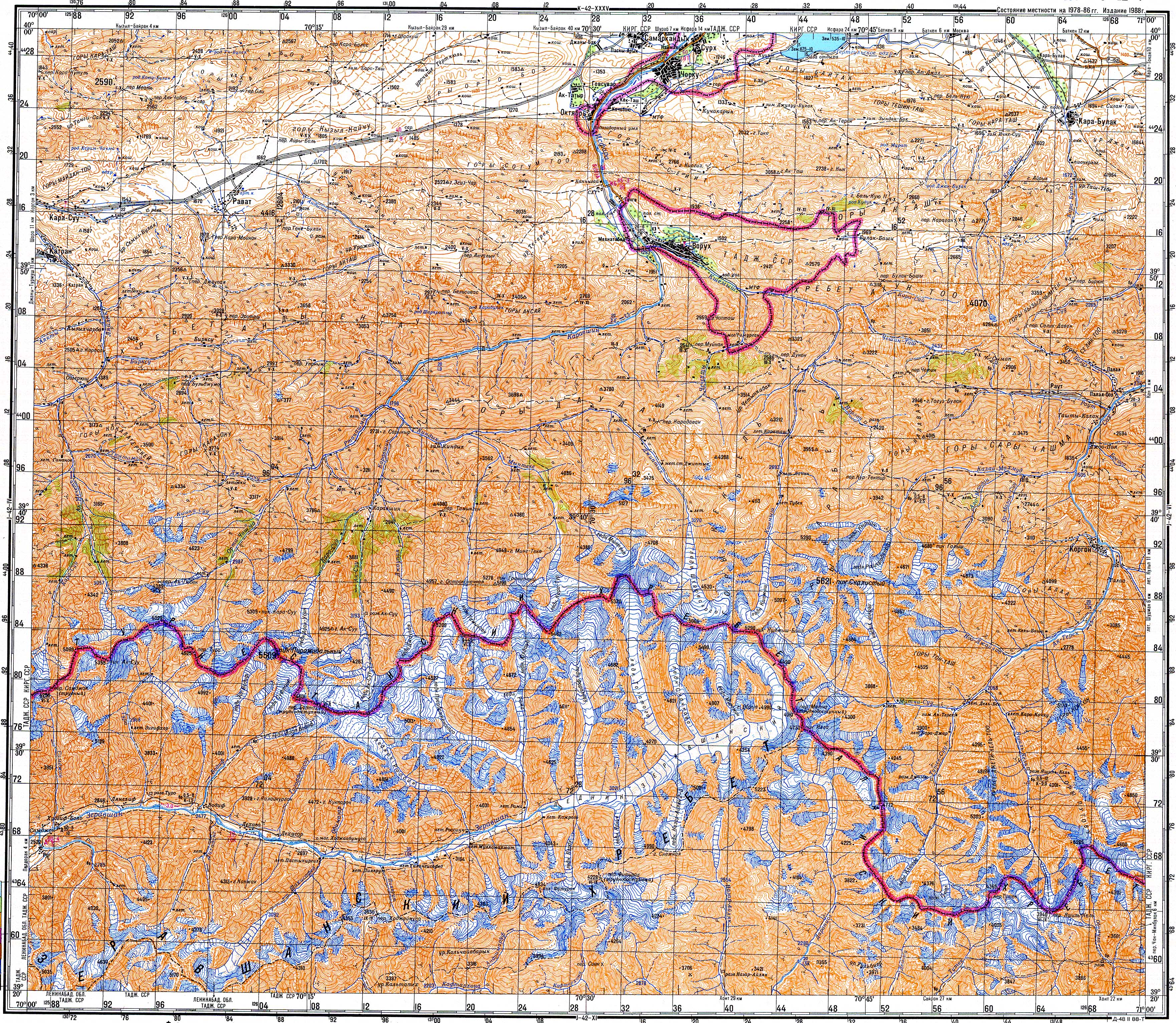
Samarkandek (Kyrgyz: Самаркандек, Russian: Самаркандык, romanized: Samarkandyk)[1] is a village in Batken Region of Kyrgyzstan. It is the seat of the Samarkandek rural community (айыл аймагы, ayyl aymagy) within the Batken District.[2] Its population was 8,015 in 2021.[3]
Until 2013, the strategic road Batken-Isfana passed through Samarkandek. In 2013, ethnic conflict between enclave of Tajikistan, Vorukh and Samarkandyk led to mutual closing of borders. As Batken-Isfana road passed through Voruh also, government officials started to build a detouring road which would lay entirely in Kyrgyzstan borders. This latter event left Samarkandyk off the road.
Population
[edit | edit source]| Year | Pop. | ±% p.a. |
|---|---|---|
| 2009 | 5,442 | — |
| 2021 | 8,015 | +3.28% |
| Note: resident population; Sources:[4][3] | ||
References
[edit | edit source]- ^ Soviet military map J-42-05 (1:200,000)
- ^ Lua error in Module:Citation/CS1/Configuration at line 2172: attempt to index field '?' (a nil value).
- ^ a b Lua error in Module:Citation/CS1/Configuration at line 2172: attempt to index field '?' (a nil value).
- ^ Lua error in Module:Citation/CS1/Configuration at line 2172: attempt to index field '?' (a nil value).