Hopin, Shan State
Jump to navigation
Jump to search
Hopin | |
|---|---|
| Lua error in Module:Location_map at line 411: Malformed coordinates value. | |
| Coordinates: Lua error in Module:Coordinates at line 489: attempt to index field 'wikibase' (a nil value). | |
| Country | File:Flag of Myanmar.svg Burma (Myanmar) |
| Division | Shan State |
| Districts | Taunggyi |
| Township | Lawksawk |
| Population | |
| • Religions | Buddhism |
| Time zone | UTC+6.30 (MST) |

Hopin[1]) is a village in Taunggyi District of Shan State of Myanmar. The village is about 5 kilometers south of the town of Lawksawk on the right (south-eastern) bank the Zawgyi River.[2]
Notes
[edit | edit source]- ^ "Hopin (Approved)" Hopin, Shan State at GEOnet Names Server, United States National Geospatial-Intelligence Agency
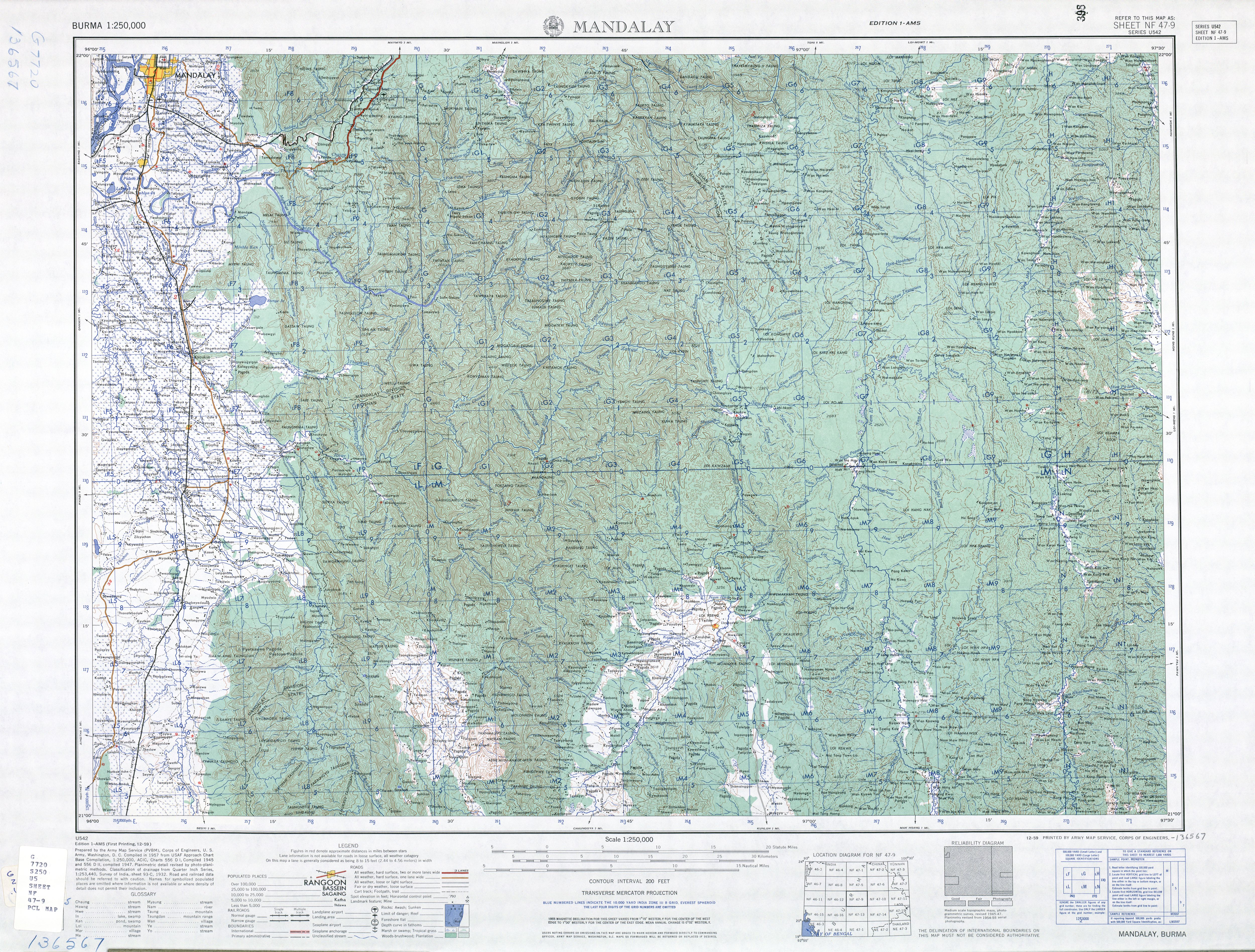
- ^ NF 47-09 "Mandalay, Burma" U.S. Army Map Service topographic map 1:250,000, Series U-542, first printing December 1959
External links
[edit | edit source]- "Hopin Map — Satellite Images of Hopin" Maplandia World Gazetteer


