Gülchö
Gülchö
Kyrgyz: Гүлчө | |
|---|---|
| Lua error in Module:Location_map at line 411: Malformed coordinates value. | |
| Coordinates: Lua error in Module:Coordinates at line 489: attempt to index field 'wikibase' (a nil value). | |
| Country | File:Flag of Kyrgyzstan.svg Kyrgyzstan |
| Region | Osh Region |
| District | Alay District |
| Elevation | 1,540 m (5,050 ft) |
| Population (2021) | |
• Total | 13,755 |
| Time zone | UTC+6 (KGT) |

Gülchö (Kyrgyz: Гүлчө; Russian: Гульча, romanized: Gulcha) is a mountain town in Osh Region of Kyrgyzstan. It is the seat of Alay District.[1] Its population was 13,755 in 2021.[2]
Population
[edit | edit source]| Year | Pop. | ±% p.a. |
|---|---|---|
| 2009 | 11,691 | — |
| 2021 | 13,755 | +1.36% |
| Note: resident population; Sources:[2][3] | ||
Geography
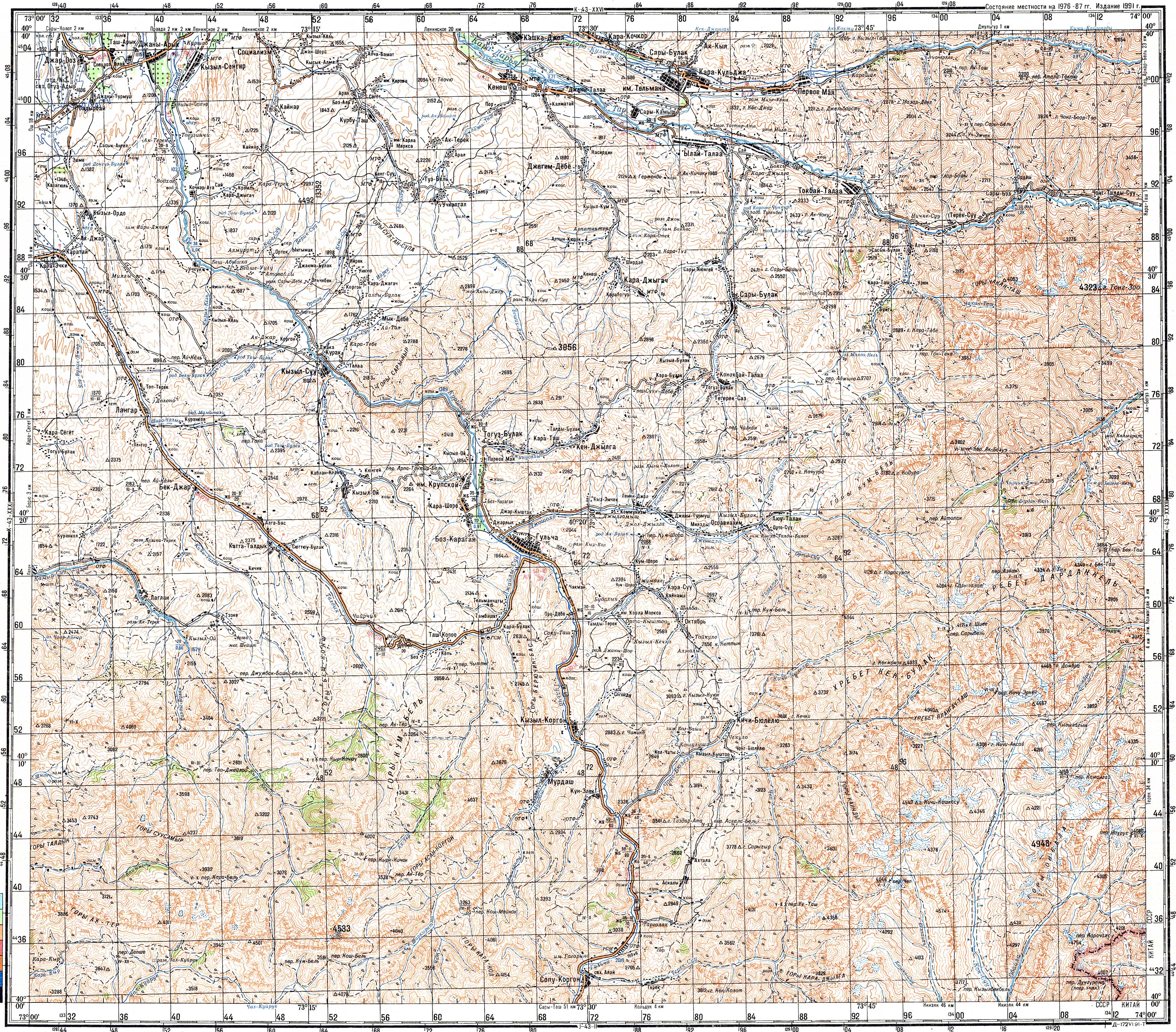
[edit | edit source]The M41 highway leading south from Osh to the Alay Valley and eastern Tajikistan passes through Gülchö. The 2402m Chyrchyk Pass separates Gülchö from Osh, and the 3615m Taldyk Pass separates Gülchö from Sary-Tash in the Alay Valley. Gülchö is situated in a broad valley at the confluence of three rivers, forming the river Kurshab.[4]
Climate
[edit | edit source]Gülchö has a hot, dry-summer continental climate (Köppen climate classification Dsa). The average annual temperature is 8.9 °C (48 °F). The warmest month is July with an average temperature of 22.3 °C (72.1 °F) and the coolest month is January with an average temperature of -7 °C (19 °F). The average annual precipitation is 501mm (19.72"). The wettest month is May with an average of 90mm (3.5") of precipitation and the driest month is September with an average of 16mm of precipitation.[5]
| Climate data for Gülchö | |||||||||||||
|---|---|---|---|---|---|---|---|---|---|---|---|---|---|
| Month | Jan | Feb | Mar | Apr | May | Jun | Jul | Aug | Sep | Oct | Nov | Dec | Year |
| Mean daily maximum °C (°F) | −2.1 (28.2) |
0.7 (33.3) |
8.4 (47.1) |
17.2 (63.0) |
22.3 (72.1) |
27.1 (80.8) |
29.6 (85.3) |
28.5 (83.3) |
24.0 (75.2) |
16.6 (61.9) |
7.7 (45.9) |
0.3 (32.5) |
15.0 (59.1) |
| Daily mean °C (°F) | −7.0 (19.4) |
−4.2 (24.4) |
3.4 (38.1) |
11.2 (52.2) |
15.9 (60.6) |
20.0 (68.0) |
22.3 (72.1) |
21.0 (69.8) |
16.3 (61.3) |
9.7 (49.5) |
2.3 (36.1) |
−4.0 (24.8) |
8.9 (48.0) |
| Mean daily minimum °C (°F) | −11.8 (10.8) |
−9.1 (15.6) |
−1.6 (29.1) |
5.3 (41.5) |
9.6 (49.3) |
12.9 (55.2) |
15.0 (59.0) |
13.6 (56.5) |
8.7 (47.7) |
2.9 (37.2) |
−3.1 (26.4) |
−8.3 (17.1) |
2.8 (37.1) |
| Average precipitation mm (inches) | 26 (1.0) |
34 (1.3) |
52 (2.0) |
74 (2.9) |
90 (3.5) |
55 (2.2) |
40 (1.6) |
17 (0.7) |
16 (0.6) |
42 (1.7) |
31 (1.2) |
24 (0.9) |
501 (19.7) |
| Source: Lua error in Module:Citation/CS1/Configuration at line 2172: attempt to index field '?' (a nil value). | |||||||||||||
References
[edit | edit source]- ^ Lua error in Module:Citation/CS1/Configuration at line 2172: attempt to index field '?' (a nil value).
- ^ a b Lua error in Module:Citation/CS1/Configuration at line 2172: attempt to index field '?' (a nil value).
- ^ Lua error in Module:Citation/CS1/Configuration at line 2172: attempt to index field '?' (a nil value).
- ^ Soviet military map K-43-32 (1:200,000)
- ^ Lua error in Module:Citation/CS1/Configuration at line 2172: attempt to index field '?' (a nil value).
Lua error in mw.title.lua at line 392: bad argument #2 to 'title.new' (unrecognized namespace name 'Portal').

