File:Xizang prfc map.png
Jump to navigation
Jump to search
No higher resolution available.
Xizang_prfc_map.png (721 × 404 pixels, file size: 63 KB, MIME type: image/png)
Summary
| Description |
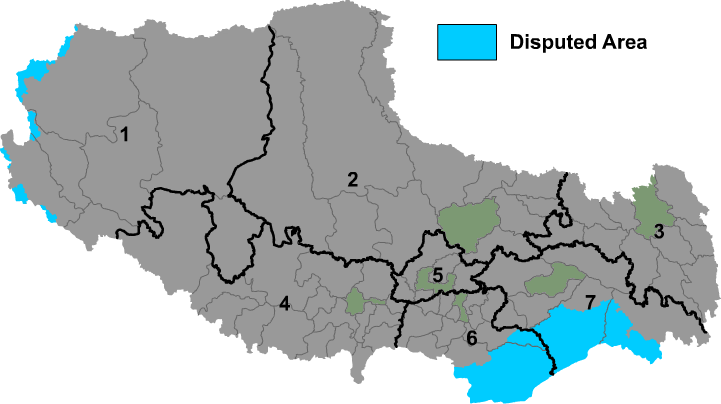
English: Map of prefectures of Tibet Autonomous Region |
| Source | Own work |
| Author | Maggern |
Licensing
| I, the copyright holder of this work, release this work into the public domain. This applies worldwide. In some countries this may not be legally possible; if so: I grant anyone the right to use this work for any purpose, without any conditions, unless such conditions are required by law. |
File history
Click on a date/time to view the file as it appeared at that time.
| Date/Time | Thumbnail | Dimensions | User | Comment | |
|---|---|---|---|---|---|
| current | 08:56, 1 December 2018 | | 721 × 404 (63 KB) | wikimediacommons>希望探险家 | Correct the border line of Ngari Prefecture and Nagqu city. |
File usage
The following 7 pages use this file: