File:Tel Aviv map-plain.png
Jump to navigation
Jump to search

Size of this preview: 461 × 599 pixels. Other resolutions: 185 × 240 pixels | 369 × 480 pixels | 877 × 1,140 pixels.
Original file (877 × 1,140 pixels, file size: 863 KB, MIME type: image/png)
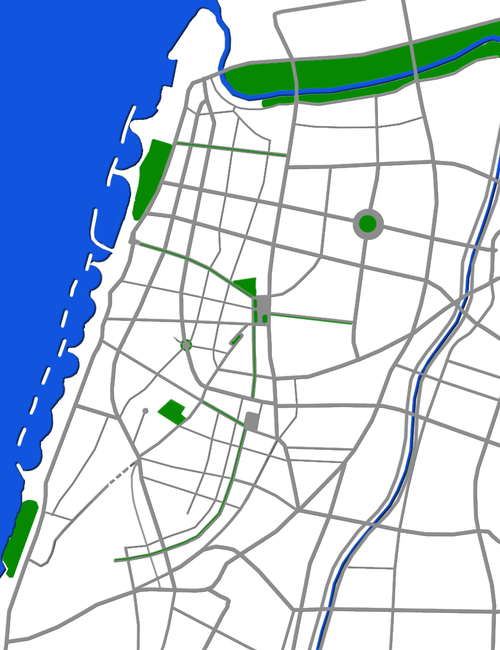
| Description | Map of Tel Aviv |
| Date | |
| Source | Own work |
| Author | User:Sambach |
| Permission (Reusing this file) |
I, the copyright holder of this work, hereby publish it under the following license: This file is licensed under the Creative Commons Attribution-Share Alike 2.5 Generic license.
|
File history
Click on a date/time to view the file as it appeared at that time.
| Date/Time | Thumbnail | Dimensions | User | Comment | |
|---|---|---|---|---|---|
| current | 09:53, 16 February 2008 | | 877 × 1,140 (863 KB) | wikimediacommons>Sambach | {{Information |Description=Map of Tel Aviv |Source=Self made |Date=Januar 2008 |Author=User:Sambach |Permission={{self|cc-by-sa-2.5}} |other_versions= }} Category:Maps of Tel Aviv-Yaffo category:Files by User:Sambach from he.wikipedia |
File usage
The following 18 pages use this file:
- 1st Rosh Ha'ir restaurant bombing
- 2002 Tel Aviv outdoor mall bombing
- 2nd Rosh Ha'ir restaurant bombing
- Azrieli Center
- Café Apropo bombing
- Carmel Market bombing
- Dizengoff Square
- Dizengoff Street bus bombing
- Dolphinarium discotheque bombing
- Gnazim Institute
- HaYovel Tower
- Mike's Place suicide bombing
- Savoy Hotel attack
- Stage Club bombing
- White City, Tel Aviv
- Module:Location map/data/Tel Aviv
- Module:Location map/data/Tel Aviv/doc
- Module talk:Location map/data/Tel Aviv