File:Philippines location map (square).svg
Jump to navigation
Jump to search

Size of this PNG preview of this SVG file: 600 × 600 pixels. Other resolutions: 240 × 240 pixels | 480 × 480 pixels | 768 × 768 pixels | 1,024 × 1,024 pixels | 2,048 × 2,048 pixels | 1,332 × 1,332 pixels.
Original file (SVG file, nominally 1,332 × 1,332 pixels, file size: 1.49 MB)
.svg)
Summary
| Description |
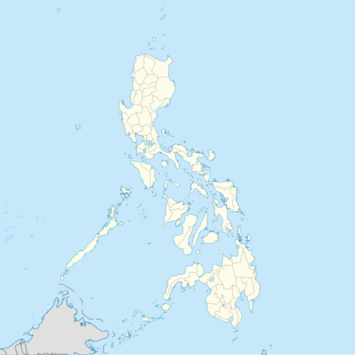
English: Location map of the Philippines
Equirectangular projection based on the parallel of 10°43' N
|
| Date | |
| Source | Own work |
| Author | Hellerick |
| SVG development |
Licensing
I, the copyright holder of this work, hereby publish it under the following license:
This file is licensed under the Creative Commons Attribution-Share Alike 3.0 Unported license.
- You are free:
- to share – to copy, distribute and transmit the work
- to remix – to adapt the work
- Under the following conditions:
- attribution – You must give appropriate credit, provide a link to the license, and indicate if changes were made. You may do so in any reasonable manner, but not in any way that suggests the licensor endorses you or your use.
- share alike – If you remix, transform, or build upon the material, you must distribute your contributions under the same or compatible license as the original.
File history
Click on a date/time to view the file as it appeared at that time.
| Date/Time | Thumbnail | Dimensions | User | Comment | |
|---|---|---|---|---|---|
| current | 10:17, 19 August 2021 | | 1,332 × 1,332 (1.49 MB) | wikimediacommons>AichiWikiFixer | Updated boundaries |
File usage
More than 100 pages use this file. The following list shows the first 100 pages that use this file only. A full list is available.
.svg)
- Abuyog
- Alangalang
- Albuera, Leyte
- Alcoy, Cebu
- Antipolo
- Aparri
- Aringay
- Ayala Center
- Babatngon
- Bacolod
- Bacoor
- Baguio
- Balanga, Bataan
- Balangiga
- Baler, Aurora
- Barili
- Basco, Batanes
- Batangas City
- Battle of Tirad Pass
- Busuanga, Palawan
- Calamba, Laguna
- Calatagan
- Caloocan
- Camp John Hay
- Candaba
- Candelaria, Quezon
- Caraga, Davao Oriental
- Cavinti
- Cavite City
- Cebu City
- Cities of the Philippines
- Clark Air Base
- Coron, Palawan
- Cotabato City
- Dasmariñas
- Davao City
- De La Salle University
- Del Monte Airfield
- Digos
- Dipolog
- Dumaguete
- El Nido, Palawan
- General Santos
- Geography of the Philippines
- Gingoog
- History of the Philippines
- Iligan
- Isabela, Basilan
- Lakewood, Zamboanga del Sur
- Lapu-Lapu City
- Las Piñas
- Legazpi, Albay
- Legazpi Airport
- List of cities in the Philippines
- Los Baños, Laguna
- Lubao
- Mabitac
- Makati
- Malabon
- Malacañang Palace
- Malaybalay
- Malinao, Aklan
- Mandaluyong
- Mandaue
- Manila
- Mansalay
- Marikina
- Meycauayan
- Meycauayan Church
- Miagao
- Muntinlupa
- Navotas
- Nielson Field
- Ninoy Aquino International Airport
- Ormoc
- Pagbilao
- Parañaque
- Pasay
- Pasig
- Pateros
- Pinamalayan
- Puerto Galera
- Quezon City
- Rodriguez, Rizal
- San Antonio, Zambales
- San Fernando, La Union
- San Isidro, Davao Oriental
- San Jose del Monte
- San Juan, Metro Manila
- San Leonardo, Nueva Ecija
- San Pablo, Laguna
- San Pedro, Laguna
- Santa Rosa, Laguna
- Santo Domingo, Nueva Ecija
- Sorsogon City
- Tabaco
- Tagaytay
- Taguig
- Talisay, Cebu
- Toledo, Cebu
View more links to this file.
.svg)