File:Map of Texas highlighting Brewster County.svg
Jump to navigation
Jump to search

Size of this PNG preview of this SVG file: 631 × 600 pixels. Other resolutions: 253 × 240 pixels | 505 × 480 pixels | 808 × 768 pixels | 1,078 × 1,024 pixels | 2,155 × 2,048 pixels | 1,386 × 1,317 pixels.
Original file (SVG file, nominally 1,386 × 1,317 pixels, file size: 222 KB)
Summary
| Description |
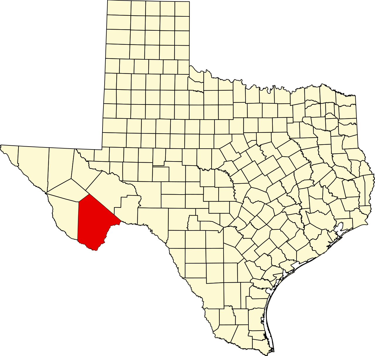
English: This is a locator map showing Brewster County in Texas. For more information, see Commons:United States county locator maps. |
| Date | |
| Source |
Own work: English: The maps use data from nationalatlas.gov, specifically countyp020.tar.gz on the Raw Data Download page. The maps also use state outline data from statesp020.tar.gz. The Florida maps use hydrogm020.tar.gz to display Lake Okeechobee. |
| Author | David Benbennick |
Licensing
| I, the copyright holder of this work, release this work into the public domain. This applies worldwide. In some countries this may not be legally possible; if so: I grant anyone the right to use this work for any purpose, without any conditions, unless such conditions are required by law. |
File history
Click on a date/time to view the file as it appeared at that time.
| Date/Time | Thumbnail | Dimensions | User | Comment | |
|---|---|---|---|---|---|
| current | 00:32, 5 July 2024 | No thumbnail | 1,386 × 1,317 (222 KB) | wikimediacommons>Nux | fix rendering (remove clipping), uniform colors |
File usage
The following 45 pages use this file:
- A. S. Gage Ranch
- Alpine, Texas
- Altuda, Texas
- Arick Village, Texas
- Barton Warnock Visitor Center
- Boquillas, Texas
- Boquillas Canyon
- Boquillas Port of Entry
- Brewster County, Texas
- Burro Mesa Archeological District
- Castolon
- Chalk Mountains (Texas)
- Daniels Farm House
- Foley County, Texas
- Glenn Springs, Texas
- Homer Wilson Ranch
- Hot Springs (Big Bend National Park)
- Lajitas, Texas
- List of census-designated places in Texas
- List of counties in Texas
- Luna Jacal
- Marathon, Texas
- Marathon Uplift
- Mariscal Mine
- National Register of Historic Places listings in Brewster County, Texas
- Needle Peak (Brewster County, Texas)
- Panther Junction, Texas
- Persimmon Gap
- Pine Canyon caldera complex
- Post Park
- Rancho Estelle
- Rosenfeld, Texas
- San Vicente, Texas
- Study Butte, Texas
- Study Butte-Terlingua, Texas
- Terlingua, Texas
- Terlingua Creek
- Tesnus, Texas
- User:Nyttend/County templates/TX/1
- File talk:Map of Texas highlighting Brewster County.svg
- Template:BrewsterCountyTX-geo-stub
- Template:Brewster County, Texas
- Template:NRHP Brewster County, Texas
- Category:Populated places in Brewster County, Texas
- Category:Wikipedia requested photographs in Brewster County, Texas