
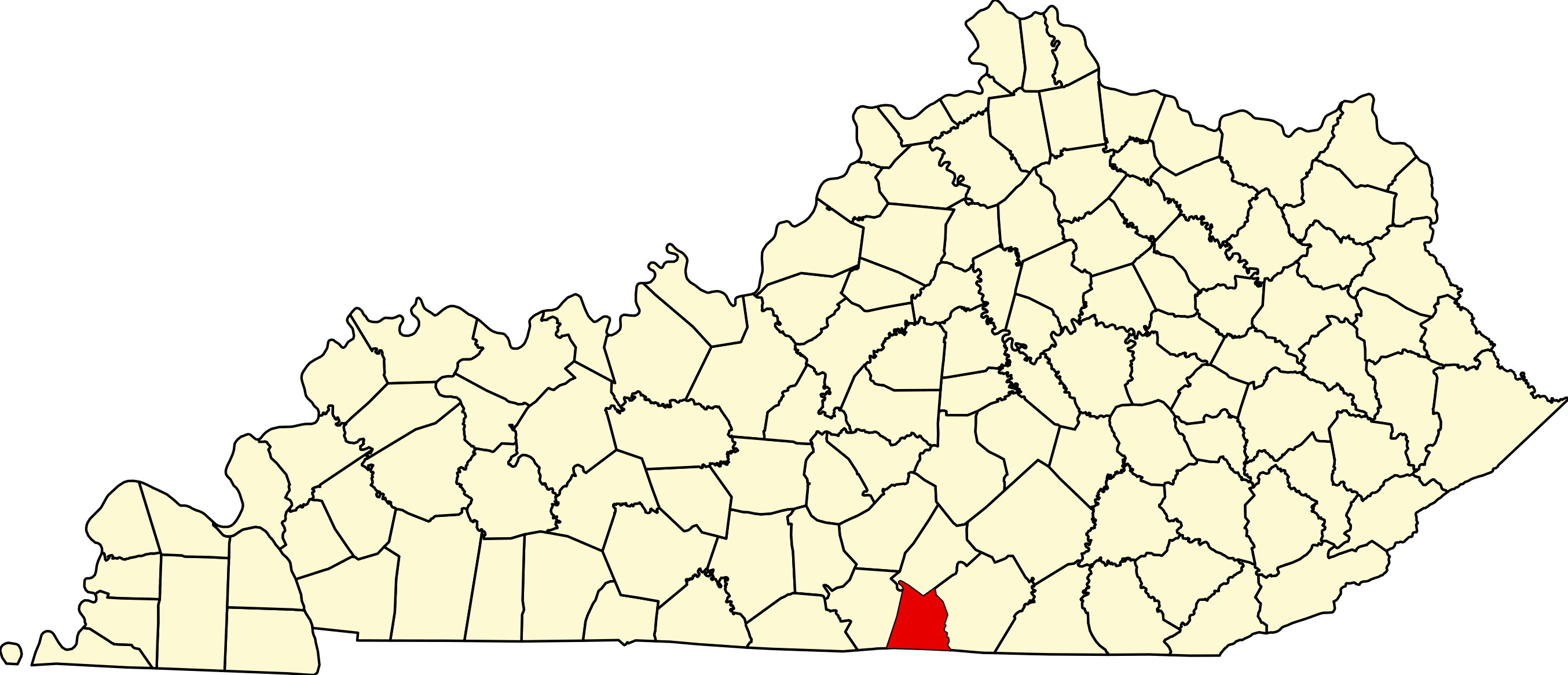
File:Map of Kentucky highlighting Clinton County.svg
Jump to navigation
Jump to search
Size of this PNG preview of this SVG file: 799 × 344 pixels. Other resolutions: 320 × 138 pixels | 640 × 276 pixels | 1,024 × 441 pixels | 1,280 × 551 pixels | 2,560 × 1,102 pixels | 2,708 × 1,166 pixels.


Original file (SVG file, nominally 2,708 × 1,166 pixels, file size: 112 KB)

Summary
| Description |
English: This is a locator map showing Clinton County in Kentucky. For more information, see Commons:United States county locator maps. |
| Date | |
| Source |
Own work: English: The maps use data from nationalatlas.gov, specifically countyp020.tar.gz on the Raw Data Download page. The maps also use state outline data from statesp020.tar.gz. The Florida maps use hydrogm020.tar.gz to display Lake Okeechobee. |
| Author | David Benbennick |
Licensing

|
I, the copyright holder of this work, release this work into the public domain. This applies worldwide. In some countries this may not be legally possible; if so: I grant anyone the right to use this work for any purpose, without any conditions, unless such conditions are required by law. |
File history
Click on a date/time to view the file as it appeared at that time.
| Date/Time | Thumbnail | Dimensions | User | Comment | |
|---|---|---|---|---|---|
| current | 04:07, 25 June 2024 | | 2,708 × 1,166 (112 KB) | wikimediacommons>Nux | fix rendering (remove clipping) |
File usage
The following 22 pages use this file:
- Aaron, Kentucky
- Albany, Kentucky
- Alpha, Kentucky
- Bug, Kentucky
- Clinton County, Kentucky
- Decide, Kentucky
- Ida, Kentucky
- Illwill Creek
- Lettered Oak, Kentucky
- List of counties in Kentucky
- National Register of Historic Places listings in Clinton County, Kentucky
- Rolan, Kentucky
- Seventy Six, Kentucky
- Seventy Six Falls
- Snow, Kentucky
- Static, Kentucky and Tennessee
- Tearcoat Creek (Kentucky)
- Watauga, Kentucky
- User:Nyttend/County templates/KY/1
- Template:ClintonCountyKY-geo-stub
- Template:Clinton County, Kentucky
- Category:Populated places in Clinton County, Kentucky
