File:Locator map Azores Pico.png
Jump to navigation
Jump to search
Size of this preview: 800 × 497 pixels. Other resolutions: 320 × 199 pixels | 640 × 398 pixels | 1,024 × 636 pixels | 1,574 × 978 pixels.
Original file (1,574 × 978 pixels, file size: 28 KB, MIME type: image/png)
Summary
| Description |
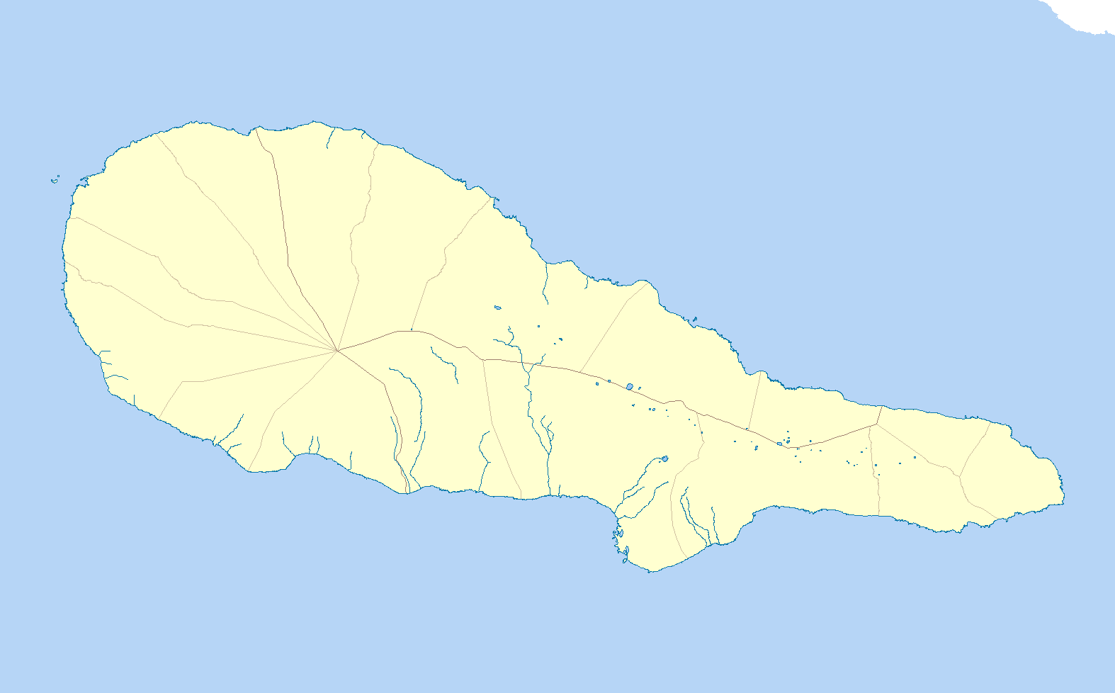
English: Base map of the island of Pico (Azores), Portugal |
| Date | |
| Source | Own work |
| Author | Zeorymer |
Licensing
I, the copyright holder of this work, hereby publish it under the following license:
This file is licensed under the Creative Commons Attribution-Share Alike 3.0 Unported license.
- You are free:
- to share – to copy, distribute and transmit the work
- to remix – to adapt the work
- Under the following conditions:
- attribution – You must give appropriate credit, provide a link to the license, and indicate if changes were made. You may do so in any reasonable manner, but not in any way that suggests the licensor endorses you or your use.
- share alike – If you remix, transform, or build upon the material, you must distribute your contributions under the same or compatible license as the original.
File history
Click on a date/time to view the file as it appeared at that time.
| Date/Time | Thumbnail | Dimensions | User | Comment | |
|---|---|---|---|---|---|
| current | 10:03, 4 July 2011 | | 1,574 × 978 (28 KB) | wikimediacommons>Zeorymer |
File usage
The following 12 pages use this file:
- Convent of São Pedro de Alcântara (São Roque do Pico)
- Hermitage of São Vicente (São Roque do Pico)
- Lagoa do Caiado
- Landscape of the Pico Island Vineyard Culture
- Madalena (Madalena)
- Madalena Islets
- Mount Pico
- Pico Airport
- Topo Volcano
- Template:Infobox Portuguese subdivision/testcases
- Module:Location map/data/Portugal Azores Pico
- Module:Location map/data/Portugal Azores Pico/doc