File:Location map municipal district Prague - Praha 7.PNG
Jump to navigation
Jump to search
No higher resolution available.
Location_map_municipal_district_Prague_-_Praha_7.PNG (544 × 399 pixels, file size: 14 KB, MIME type: image/png)
Summary
| Description |
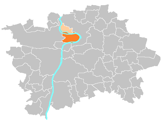
Čeština: Mapka umístění městské části a správního obvodu Praha 7 English: Location map of municipal district and administrative district Prague 7 |
| Source | self-made, based on image:Prague_municipal_districts.png |
| Author | Michiel1972 |
Licensing
| I, the copyright holder of this work, release this work into the public domain. This applies worldwide. In some countries this may not be legally possible; if so: I grant anyone the right to use this work for any purpose, without any conditions, unless such conditions are required by law. |
File history
Click on a date/time to view the file as it appeared at that time.
| Date/Time | Thumbnail | Dimensions | User | Comment | |
|---|---|---|---|---|---|
| current | 10:50, 21 November 2014 | | 544 × 399 (14 KB) | wikimediacommons>Valdemar | tmavě oranžová městská část, světle oranžová zbytek správního obvodu (zároveň i starého městského obvodu) |
File usage
The following page uses this file: