File:Location map Southern Los Angeles.png
Jump to navigation
Jump to search
Size of this preview: 631 × 600 pixels. Other resolutions: 253 × 240 pixels | 505 × 480 pixels | 688 × 654 pixels.
Original file (688 × 654 pixels, file size: 554 KB, MIME type: image/png)
| Description |
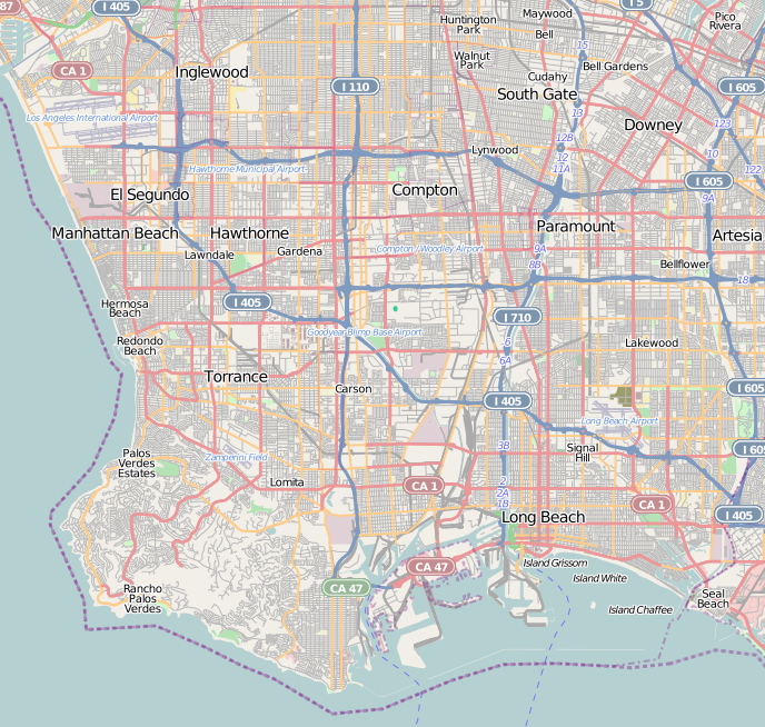
This map of Southern Los Angeles County and Greater Los Angeles, and South Bay region — Southern California. was created from OpenStreetMap project data, collected by the community. This map may be incomplete, and may contain errors. Don't rely solely on it for navigation. |
|||||||||
| Date | (see file history) | |||||||||
| Source | openstreetmap.org | |||||||||
| Creator |
OpenStreetMap contributors |
|||||||||
| Permission (Reusing this file) |
OpenStreetMap data and maps are licensed under the Creative Commons Attribution-ShareAlike 2.0 license (CC-BY-SA 2.0). This file is licensed under the Creative Commons Attribution-Share Alike 2.0 Generic license.
|
|||||||||
| Geotemporal data | ||||||||||
| Bounding box |
|
|||||||||
| Georeferencing | If inappropriate please set warp_status = skip to hide. | |||||||||
File history
Click on a date/time to view the file as it appeared at that time.
| Date/Time | Thumbnail | Dimensions | User | Comment | |
|---|---|---|---|---|---|
| current | 06:05, 12 October 2010 | | 688 × 654 (554 KB) | wikimediacommons>Zzyzx11 | {{OpenStreetMap |location= Southern Los Angeles |top= 33.992 |bottom= 33.691 |left= -118.458 |right= -118.077 }} Category:OpenStreetMap maps of the United States Category:Maps of Los Angeles |
File usage
The following 17 pages use this file:
- Al-Zahra Mosque (Los Angeles)
- Broadway-Manchester, Los Angeles
- Green Meadows, Los Angeles
- Harbor City, Los Angeles
- Hawkins House of Burgers
- Magnolia Square, Los Angeles
- Manchester Square, Los Angeles
- Playa del Rey, Los Angeles
- San Pedro, Los Angeles
- Terminal Island
- Vermont Vista, Los Angeles
- Watts, Los Angeles
- Watts Towers
- West Park Terrace, Los Angeles
- Wilmington, Los Angeles
- Module:Location map/data/United States Los Angeles Southern
- Module:Location map/data/United States Los Angeles Southern/doc