File:Lesser Poland Voivodeship Relief location map.svg
Jump to navigation
Jump to search

Size of this PNG preview of this SVG file: 648 × 600 pixels. Other resolutions: 259 × 240 pixels | 519 × 480 pixels | 830 × 768 pixels | 1,106 × 1,024 pixels | 2,212 × 2,048 pixels | 2,344 × 2,170 pixels.
Original file (SVG file, nominally 2,344 × 2,170 pixels, file size: 3.66 MB)
Summary
| Description |
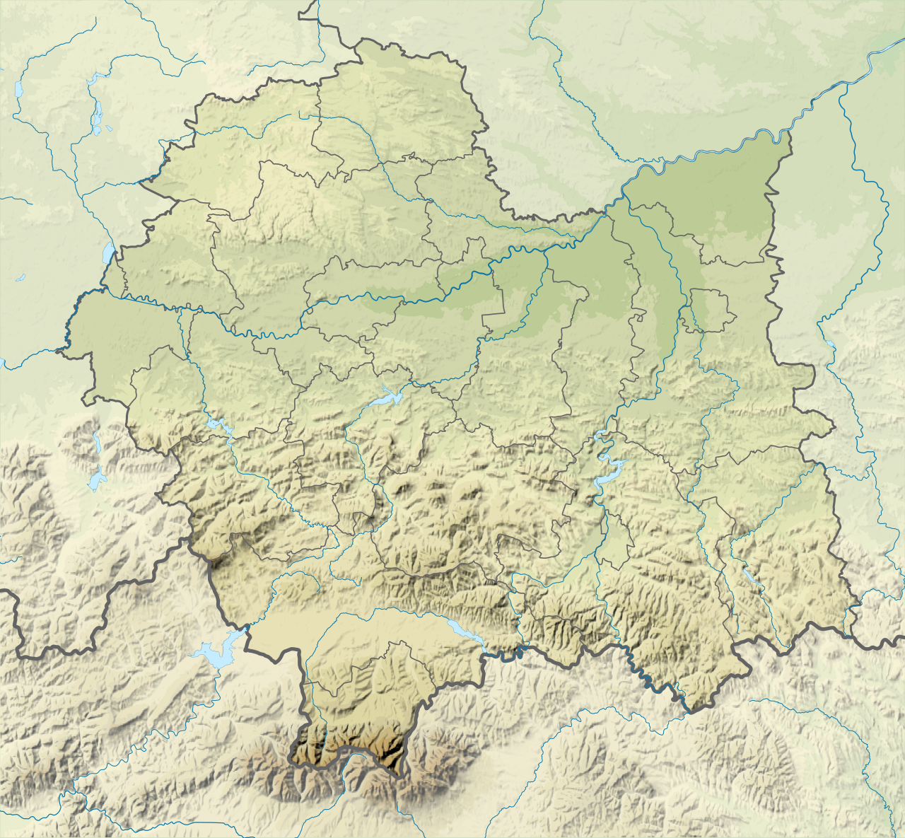
English: Relief Location map of Lesser Poland Voivodeship, Poland. Geographic limits of the map:
|
| Date | |
| Source |
Own work
|
| Author | SANtosito |
| Other versions |
|

Licensing
I, the copyright holder of this work, hereby publish it under the following license:
This file is licensed under the Creative Commons Attribution-Share Alike 4.0 International license.
- You are free:
- to share – to copy, distribute and transmit the work
- to remix – to adapt the work
- Under the following conditions:
- attribution – You must give appropriate credit, provide a link to the license, and indicate if changes were made. You may do so in any reasonable manner, but not in any way that suggests the licensor endorses you or your use.
- share alike – If you remix, transform, or build upon the material, you must distribute your contributions under the same or compatible license as the original.
File history
Click on a date/time to view the file as it appeared at that time.
| Date/Time | Thumbnail | Dimensions | User | Comment | |
|---|---|---|---|---|---|
| current | 21:49, 13 February 2021 | | 2,344 × 2,170 (3.66 MB) | wikimediacommons>SANtosito | vectrized topo |
File usage
The following 30 pages use this file:
- Andrychów Synagogue
- Babia Góra
- Bobov Synagogue (Kraków)
- Bochnia Salt Mine
- Giewont
- Great Synagogue (Oświęcim)
- Gubałówka
- Kalwaria Zebrzydowska Park
- Kasprowy Wierch
- Kowea Itim le-Tora Synagogue
- Krakus Mound
- Kupa Synagogue
- Lake Czorsztyn
- Lake Dobczyce
- Lake Kurtkowiec
- Lake Rożnów
- Mnich (mountain)
- Morskie Oko
- New Synagogue (Tarnów)
- Oświęcim Synagogue
- Piwniczka
- Rysy
- Tatra National Park, Poland
- Turbacz
- Wieliczka Salt Mine
- Wielki Staw Polski
- Zesławicki Lagoon
- Module:Location map/data/Lesser Poland Voivodeship
- Module:Location map/data/Poland Lesser Poland Voivodeship
- Module:Location map/data/Poland Lesser Poland Voivodeship/doc