File:Georgia 169.svg
Jump to navigation
Jump to search

Size of this PNG preview of this SVG file: 750 × 600 pixels. Other resolutions: 300 × 240 pixels | 600 × 480 pixels | 960 × 768 pixels | 1,280 × 1,024 pixels | 2,560 × 2,048 pixels.
Original file (SVG file, nominally 750 × 600 pixels, file size: 7 KB)
Summary
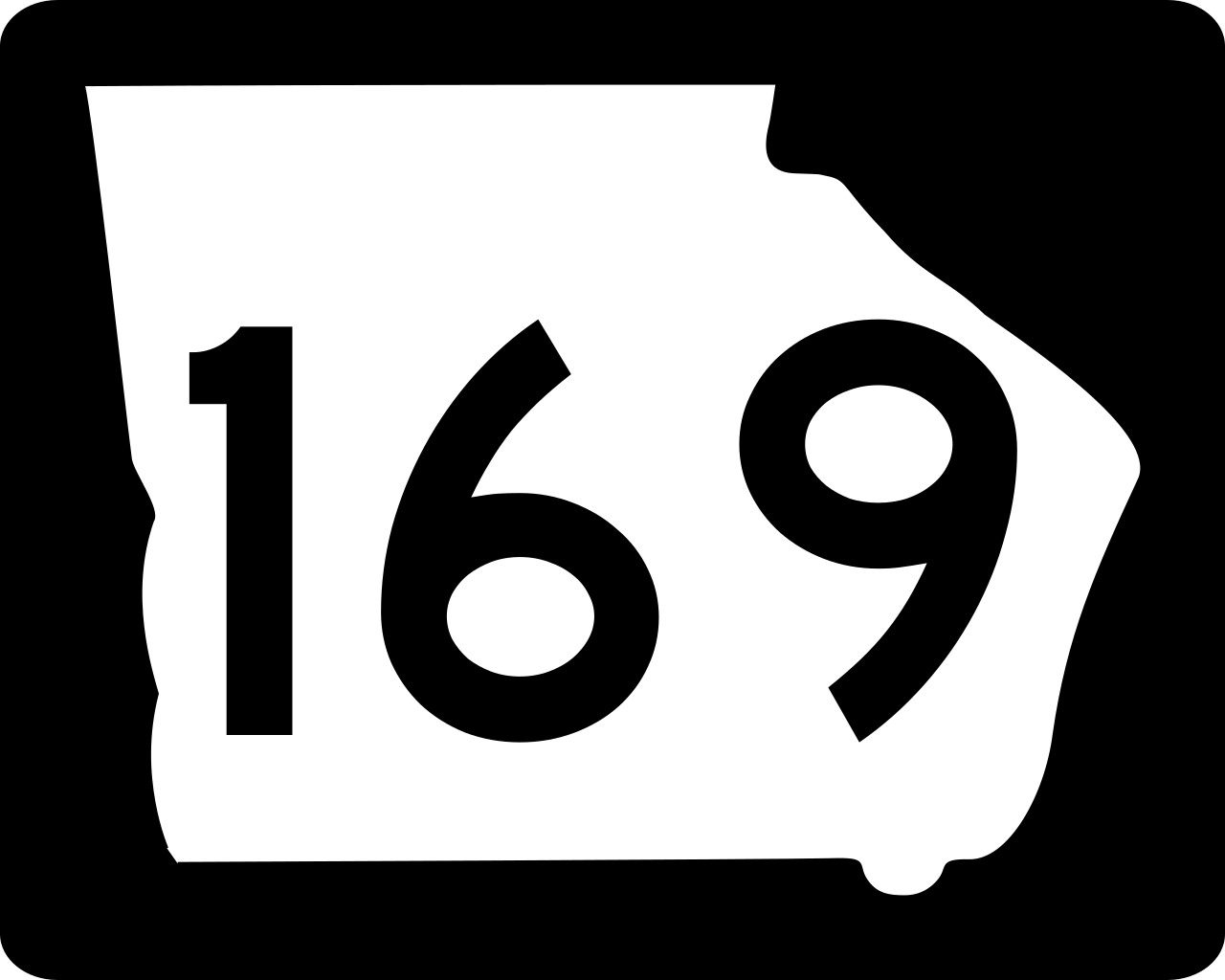
| Description | Georgia state route marker. Signs use FHWA type D or type C font. |
| Date | |
| Source | http://www.dot.ga.gov/PartnerSmart/DesignManuals/smguide/GDOT%20SIGNING%20AND%20MARKING%20DESIGN%20GUIDELINES.pdf and approximated from photos |
| Author | Fredddie, originally created by Pedriana |
Licensing
This file is in the public domain because it is prescribed by the Georgia Supplement to the Manual on Uniform Traffic Control Devices, sign number M1-5. The Georgia Supplement states on page 1-3 that "[MUTCD 2009 edition is the] latest edition adopted by GDOT. This document shall govern those aspects of the application of all signs, signals, and pavement markings". The federal MUTCD states specifically on page I-1 that:
No provisions of the supplement supersede this provision of the MUTCD. |
File history
Click on a date/time to view the file as it appeared at that time.
| Date/Time | Thumbnail | Dimensions | User | Comment | |
|---|---|---|---|---|---|
| current | 15:03, 3 June 2010 | | 750 × 600 (7 KB) | wikimediacommons>Fredddie |
File usage
The following 26 pages use this file:
- Appling County, Georgia
- Evans County, Georgia
- Georgia State Route 121
- Georgia State Route 129
- Georgia State Route 144
- Georgia State Route 168
- Georgia State Route 169
- Georgia State Route 178
- Georgia State Route 23
- Georgia State Route 27
- Georgia State Route 292
- Georgia State Route 30
- Georgia State Route 57
- Georgia State Route 73
- List of former state routes in Georgia (1–199)
- List of highways numbered 169
- List of state routes in Georgia
- Tattnall County, Georgia
- U.S. Route 25 in Georgia
- U.S. Route 280
- U.S. Route 301 in Georgia
- U.S. Route 341
- Wayne County, Georgia
- User:Morriswa/Clinched highways/State highways
- User talk:JohnnyReb1977
- MyWiki:WikiProject U.S. Roads/Redirects/Georgia