File:Florida 40.svg
Jump to navigation
Jump to search

Size of this PNG preview of this SVG file: 600 × 600 pixels. Other resolutions: 240 × 240 pixels | 480 × 480 pixels | 768 × 768 pixels | 1,024 × 1,024 pixels | 2,048 × 2,048 pixels | 601 × 601 pixels.
Original file (SVG file, nominally 601 × 601 pixels, file size: 4 KB)
Summary
| Description |
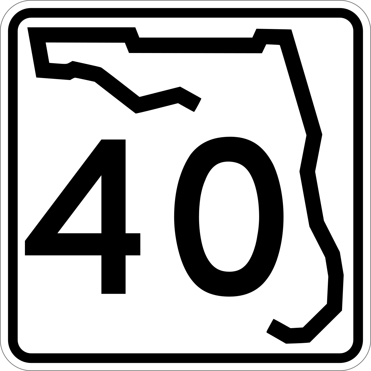
English: 24 in by 24 in (600 mm by 600 mm) Florida State Road shield, made to the specifications of the sign detail. Uses the Roadgeek 2005 fonts. (United States law does not permit the copyrighting of typeface designs, and the fonts are meant to be copies of a U.S. Government-produced work anyway.) The outside border has a width of 1 (1/16 in) and a color of black so it shows up; in reality, signs have no outside border.
Note that the drawing does not provide the border width or curve radii. (The previous page does but seems very inaccurate.) Thus those measurements are approximated from the drawing. The state outline is extracted from the PDF and cleaned up (to make the inside match the outside). |
|||
| Source | Own work | |||
| Author | SPUI | |||
| Permission (Reusing this file) |
|

File history
Click on a date/time to view the file as it appeared at that time.
| Date/Time | Thumbnail | Dimensions | User | Comment | |
|---|---|---|---|---|---|
| current | 04:26, 22 September 2017 | | 601 × 601 (4 KB) | wikimediacommons>HWY Shield Bot | == {{int:filedesc}} == {{Information |Description={{Florida State Road}} |Source=File:Florida 00 template.svg |Date={{subst:VI-time}} |Author=Florida Department of Transportation<br />Template: {{user|Fredddie}}<br />File created & uploaded by {{... |
File usage
The following 38 pages use this file:
- Astor Bridge
- Bert Dosh Memorial Bridge
- Drayton Island Ferry
- Florida State Road 11
- Florida State Road 19
- Florida State Road 326
- Florida State Road 35
- Florida State Road 40
- Florida State Road 492
- Florida State Road 5A
- Florida State Road A1A
- Francis P. Whitehair Bridge
- Granada Bridge (Ormond Beach)
- Interstate 75 in Florida
- Interstate 95 in Florida
- Lake County, Florida
- List of crossings of the Halifax River
- List of crossings of the St. Johns River
- List of highways numbered 40
- List of state roads in Florida
- Marion County, Florida
- Ocala, Florida
- Ocklawaha River
- Ormond Beach, Florida
- Ormond Scenic Loop and Trail
- Tomoka River
- U.S. Route 17 in Florida
- U.S. Route 1 in Florida
- U.S. Route 27 in Florida
- U.S. Route 301 in Florida
- U.S. Route 41 in Florida
- U.S. Route 441 in Florida
- Volusia County, Florida
- User:Gamweb/sandbox/rivers/tomoka
- User:Gamweb/sandbox3
- User:MPD01605/Exit lists
- User:NE2/FLSR
- MyWiki:WikiProject U.S. Roads/Redirects/Florida/1-499