
File:Edam 173.JPG
Jump to navigation
Jump to search
Original file (3,264 × 2,448 pixels, file size: 1.97 MB, MIME type: image/jpeg)

 | This is an image of rijksmonument number 511028 Information from structured data:
|
Summary
| Description |
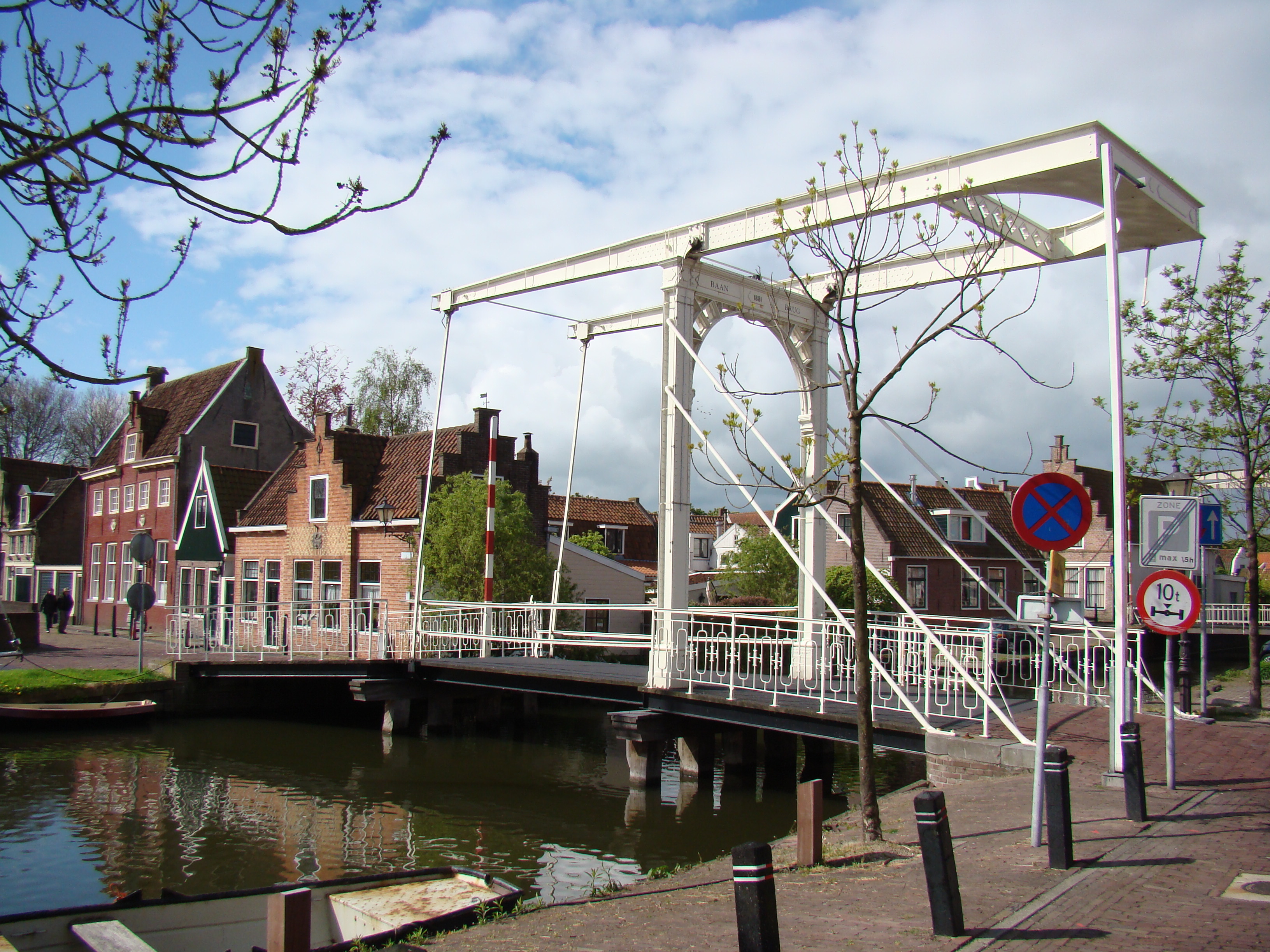
English: Monumental buildings in Edam (Netherlands)
Nederlands: Monumentale gebouwen in Edam |
| Date | |
| Source | Own work |
| Author | Arch |
| Object location |  | View this and other nearby images on: OpenStreetMap |  |
|---|

Baanbrug
Licensing

|
I, the copyright holder of this work, release this work into the public domain. This applies worldwide. In some countries this may not be legally possible; if so: I grant anyone the right to use this work for any purpose, without any conditions, unless such conditions are required by law. |
File history
Click on a date/time to view the file as it appeared at that time.
| Date/Time | Thumbnail | Dimensions | User | Comment | |
|---|---|---|---|---|---|
| current | 11:32, 5 May 2010 | No thumbnail | 3,264 × 2,448 (1.97 MB) | wikimediacommons>Arch | == Summary == {{Information |Description={{en|1=Monumental buildings in Edam (Netherlands)}} {{nl|1=Monumentale gebouwen in Edam}} |Source={{own}} |Author=Arch |Date=2010 |Permission=see below |other_versions= }} Baanbrug Category:Edam |
File usage
The following page uses this file:
