File:DuluthMapRevised.png
Jump to navigation
Jump to search
Original file (1,896 × 2,090 pixels, file size: 1.69 MB, MIME type: image/png)
| Description |
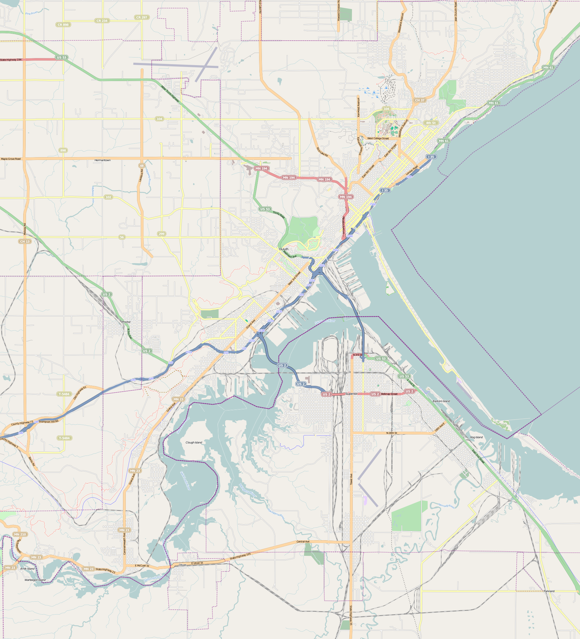
This map of Duluth and vicinity was created from OpenStreetMap project data, collected by the community. This map may be incomplete, and may contain errors. Don't rely solely on it for navigation. |
|||||||||
| Date | (see file history) | |||||||||
| Source | openstreetmap.org | |||||||||
| Creator |
OpenStreetMap contributors |
|||||||||
| Permission (Reusing this file) |
OpenStreetMap data and maps are licensed under the Creative Commons Attribution-ShareAlike 2.0 license (CC-BY-SA 2.0). This file is licensed under the Creative Commons Attribution-Share Alike 2.0 Generic license.
|
|||||||||
| Geotemporal data | ||||||||||
| Bounding box |
|
|||||||||
| Georeferencing | If inappropriate please set warp_status = skip to hide. | |||||||||
File history
Click on a date/time to view the file as it appeared at that time.
| Date/Time | Thumbnail | Dimensions | User | Comment | |
|---|---|---|---|---|---|
| current | 21:52, 8 August 2011 | No thumbnail | 1,896 × 2,090 (1.69 MB) | wikimediacommons>Dulufoto |
File usage
The following 42 pages use this file:
- Bergetta Moe Bakery
- Bridge 5757
- Bridge L6113
- Bridge L8515
- Buckingham Creek (St. Louis River tributary)
- Chester Terrace (Duluth, Minnesota)
- DeWitt–Seitz Building
- Downtown Duluth
- Duluth Armory
- Duluth Civic Center Historic District
- Duluth Masonic Center
- Duluth Public Library (historic)
- Endion School
- Endion station
- Hartley Building
- Irving School (Duluth, Minnesota)
- Kitchi Gammi Club
- Lester River Bridge
- Lester River Fish Hatchery
- Lincoln Branch Library
- Mayflower (scow-schooner)
- Mission Creek (Saint Louis River tributary)
- Munger Terrace
- Oliver G. Traphagen House
- SS William A. Irvin
- Sacred Heart Cathedral, Sacred Heart School and Christian Brothers Home
- St. Mark's African Methodist Episcopal Church
- Stewart Creek Bridge
- Thomas Wilson (shipwreck)
- U.S. Army Corps of Engineers Duluth Vessel Yard
- USS Essex (1874)
- Wirth Building
- YWCA of Duluth
- User:Akaza/sandbox/Overhauls/Archive 1
- User:Dulufoto/Enger Park
- User:Dulufoto/Magney-Snively Natural Area
- User:Dulufoto/Norton Park
- User:Dulufoto/Sargent Creek (St. Louis River tributary)
- User:Dulufoto/sandbox
- User:McGhiever/draft
- Module:Location map/data/USA Minnesota Duluth
- Module:Location map/data/USA Minnesota Duluth/doc