
File:Bac mun.png
Jump to navigation
Jump to search

No higher resolution available.
Bac_mun.png (716 × 588 pixels, file size: 31 KB, MIME type: image/png)

Summary
| Description |
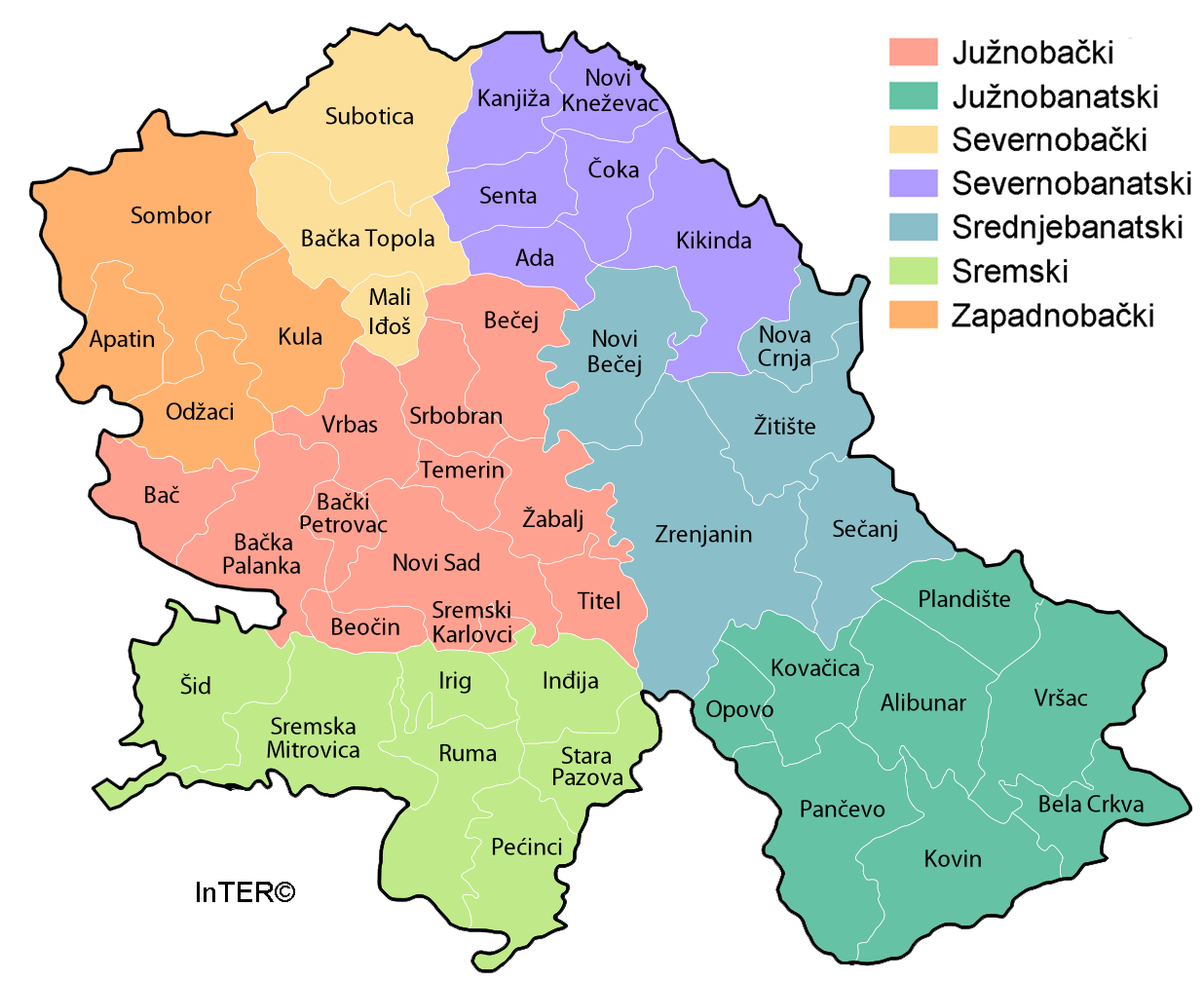
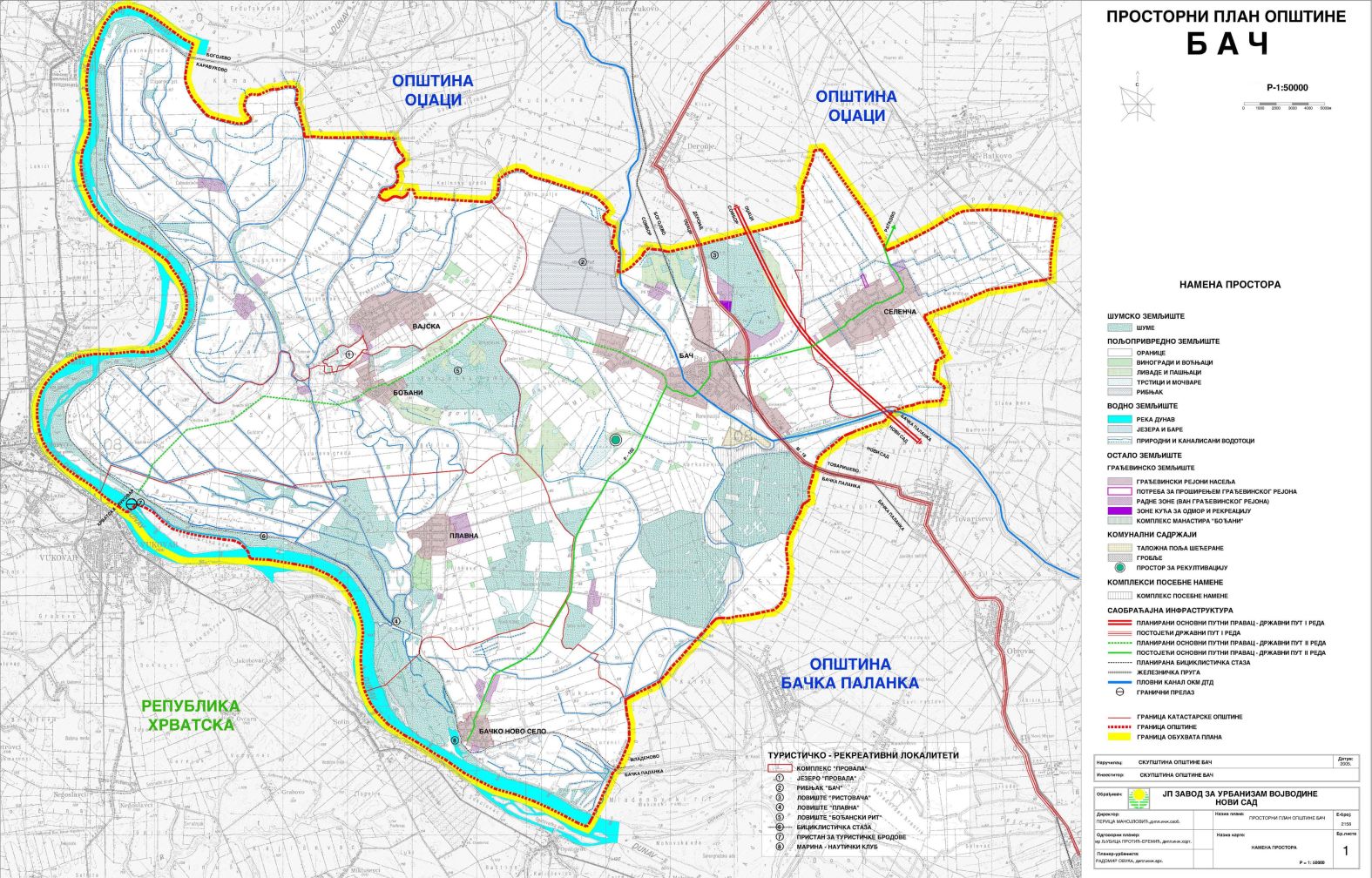
English: map of Bač municipality, Vojvodina, Serbia
Српски / srpski: мапа општине Бач, Војводина, Србија |
| Date | 8 February 2009 (original upload date) |
| Source | Own work |
| Author | WikiEditor2004 |
Licensing

|
I, the copyright holder of this work, release this work into the public domain. This applies worldwide. In some countries this may not be legally possible; if so: I grant anyone the right to use this work for any purpose, without any conditions, unless such conditions are required by law. |
References
- Geografski atlas, Magic Map, Smederevska Palanka, 2001.
- Geografski atlas, Intersistem Kartografija, Beograd, 2004.
- Denis Šehić - Demir Šehić, Geografski atlas Srbije, Beograd, 2007.
- Dr Slobodan Ćurčić, Naselja Bačke - geografske karakteristike, Novi Sad, 2007.
- http://vajdasag.rs/images/0/02/Vajdaság_autóstérképe.png archive copy at the Wayback Machine
- http://www.lokalnirazvoj.org/upload/Book/Image/2012_03/Vojvodina_Region.jpg
- http://www.skupstinavojvodine.gov.rs/Slike/opstine.gif archive copy at the Wayback Machine
- http://www.zavurbvo.co.rs/images/planovi/bac.jpg
- http://www.nadlanu.com/upload/thumbs/archive/Uploads/Logos01/Bac-50523-1-2_420x0.jpg[dead link]





File history
Click on a date/time to view the file as it appeared at that time.
| Date/Time | Thumbnail | Dimensions | User | Comment | |
|---|---|---|---|---|---|
| current | 23:06, 16 February 2013 | | 716 × 588 (31 KB) | wikimediacommons>WikiEditor2004 | {{Information |Description ={{en|1=improved version}} |Source =improved version |Author =improved version |Date = |Permission = |other_versions = }} |
File usage
The following 7 pages use this file:
