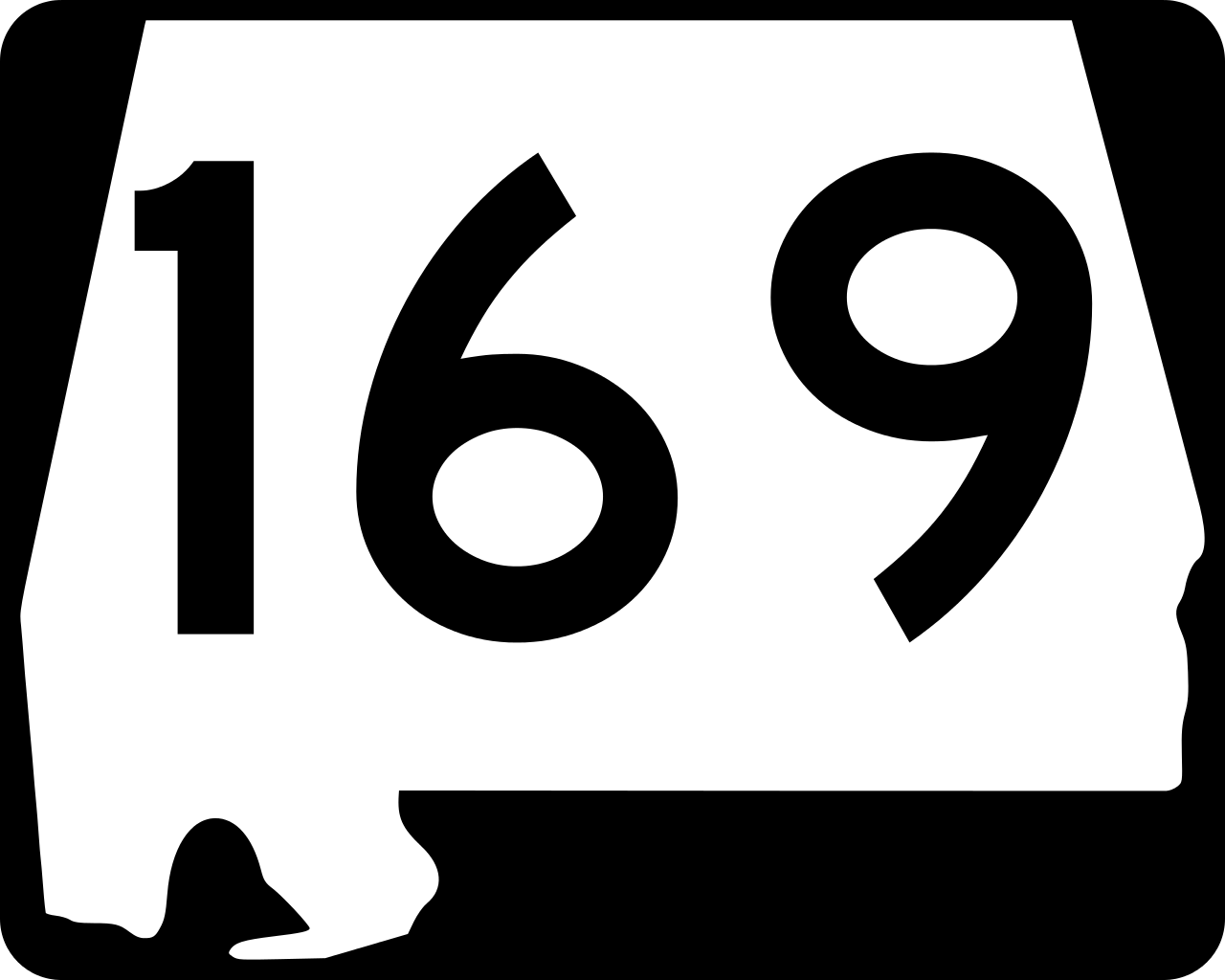
File:Alabama 169.svg
Jump to navigation
Jump to search
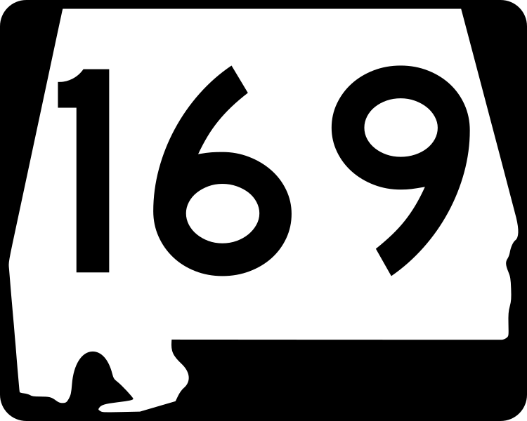
Size of this PNG preview of this SVG file: 750 × 600 pixels. Other resolutions: 300 × 240 pixels | 600 × 480 pixels | 960 × 768 pixels | 1,280 × 1,024 pixels | 2,560 × 2,048 pixels.
Original file (SVG file, nominally 750 × 600 pixels, file size: 11 KB)
Summary
| Description |
English: 30 in by 24 in (750 mm by 600 mm) Alabama State Route shield, made to the specifications of the 2004 edition of Standard Highway Signs (sign M1-5). Uses the Roadgeek 2005 fonts. (United States law does not permit the copyrighting of typeface designs, and the fonts are meant to be copies of a U.S. Government-produced work anyway.) |
| Source | Own work |
| Author | Ltljltlj |
| SVG development |




Licensing

|
This image of simple geometry is ineligible for copyright and therefore in the public domain, because it consists entirely of information that is common property and contains no original authorship. |  |
File history
Click on a date/time to view the file as it appeared at that time.
| Date/Time | Thumbnail | Dimensions | User | Comment | |
|---|---|---|---|---|---|
| current | 11:00, 7 December 2006 | No thumbnail | 750 × 600 (11 KB) | wikimediacommons>Ltljltlj |
File usage
The following 15 pages use this file:
- Alabama State Route 168
- Alabama State Route 169
- Alabama State Route 170
- Alabama State Route 51
- Columbus–Auburn–Opelika combined statistical area
- Interstate 85 in Alabama
- Lee County, Alabama
- List of highways numbered 169
- List of state routes in Alabama
- Russell County, Alabama
- U.S. Route 280
- U.S. Route 29 in Alabama
- U.S. Route 431 in Alabama
- U.S. Route 80 in Alabama
- MyWiki:WikiProject U.S. Roads/Redirects/Alabama
